In what appears to be a tacit acceptance of the failure of his government, Senator Monday Okpebholo has admitted the collapse of the Edo Geographic Information System (Edo GIS), while attempting to deflect the responsibility and shift the blame for the system’s collapse.
This comes following media reports of the Edo GIS’s total collapse because the ICT experts responsible for managing the database and the entire digitized system have pulled out of the service of Edo State due to the refusal of the Okpebholo-led state government to pay them the outstanding debts owed.
According to the report, since Okpebholo took office, he is said to have stopped paying the ICT experts whose debts is estimated to be running to over 3 billion naira, forcing them to pull out of the service and leading to the total collapse of the system.
All Certificates of Occupancy (C-of-Os) in the possession of residents across the State, according to the reports, have become mere pieces of paper as there is no database against which the coordinates specified in the C-of-O can be verified.
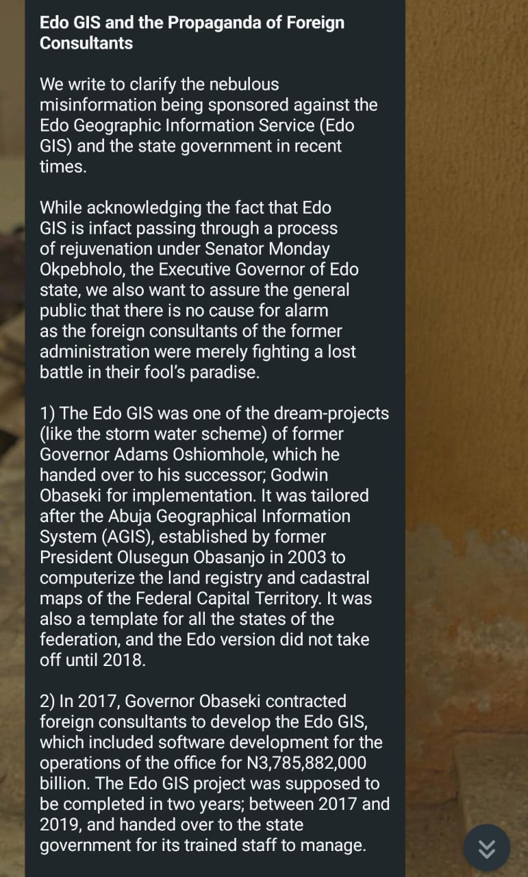
However, in a poorly veiled defense issued by the Okpebholo administration, the government attempted to frame the collapse of the EdoGIS as part of its ongoing “rejuvenation,” thereby confirming the breakdown of a once-functional system under Okpebholo’s leadership.
In a statement, Dr. Tony Ikpasaja, Managing Director of Edo GIS, confirmed the collapse, saying, “While acknowledging the fact that Edo GIS is in fact passing through a process of rejuvenation under Senator Monday Okpebholo, the Executive Governor of Edo state, we also want to assure the general public that there is no cause for alarm as the foreign consultants of the former administration were merely fighting a lost battle in their fool’s paradise.”
This confirms the allegation that the Okpebholo government has failed to sustain the progress made by His Excellency Godwin Obaseki in improving land titling and documentation across the state through the development of a Geographic Information System (GIS) and a digital database for land coordinates, by refusing to efficiently manage the ICT experts responsible for the Edo GIS system, leading to its collapse.
They have instead resorted to empty excuses in an attempt to mask their failures as a government.
His Excellency, Godwin Obaseki, during his term as governor, undertook the geospatial mapping of Edo State, engaging survey experts to conduct aerial surveys and produce detailed maps, which enabled the State to establish a Geographic Information System (GIS). Following this nuanced effort, Edo had one of the most advanced GIS platforms in the country, allowing for the efficient issuance of land titles. With the system, Obaseki, issued over 30,000 Certificates of Occupancy (C-of-Os) in eight years, which was two to three times the total number issued since the state’s creation in 1991.
But that progress has now been reversed with the new development under the Senator Monday Okpebholo-led government as the entire system has been rendered nonfunctional.